news
9
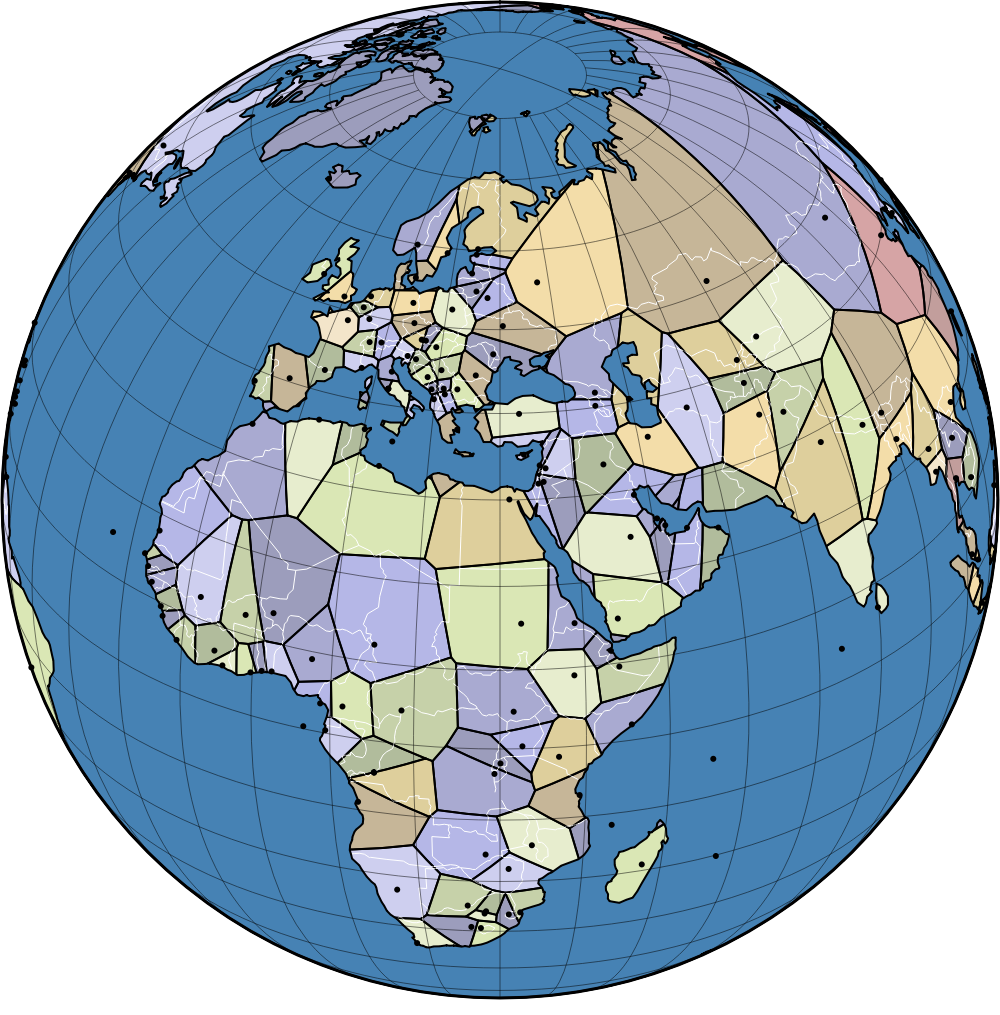
World Capitals Voronoi
2026-06-10A new data visualization project uses a Voronoi diagram to redraw global borders by assigning every geographic point on Earth to the territory of its closest capital city. This unique spatial analysis provides a fascinating new perspective on the geographic distribution and proximity of global political centers.
Comments
0Discuss on Hacker NewsOnly full members can comment
Log in to express your opinion.
No comments yet.