news
86
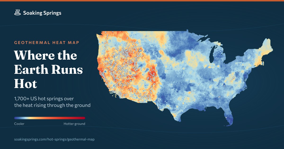
Geothermal heat map of US hot springs
2026-09-25A new data visualization plots every hot spring in the United States over a geothermal heat flow map to reveal regional temperature trends. The project highlights the specific locations with the hottest ground and water temperatures while providing a comprehensive state-by-state comparison.
Comments
0Discuss on Hacker NewsOnly full members can comment
Log in to express your opinion.
No comments yet.