news
361
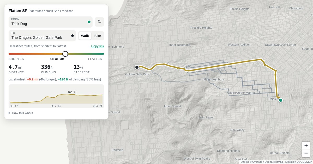
A new tool called flattensf helps San Francisco pedestrians and cyclists avoid the city's notoriously steep hills. The platform calculates the absolute flattest walking or cycling routes between any two locations. It also displays all alternative paths ranging from the flattest option to the shortest possible distance.
Comments
0Discuss on Hacker NewsOnly full members can comment
Log in to express your opinion.
No comments yet.