news
353
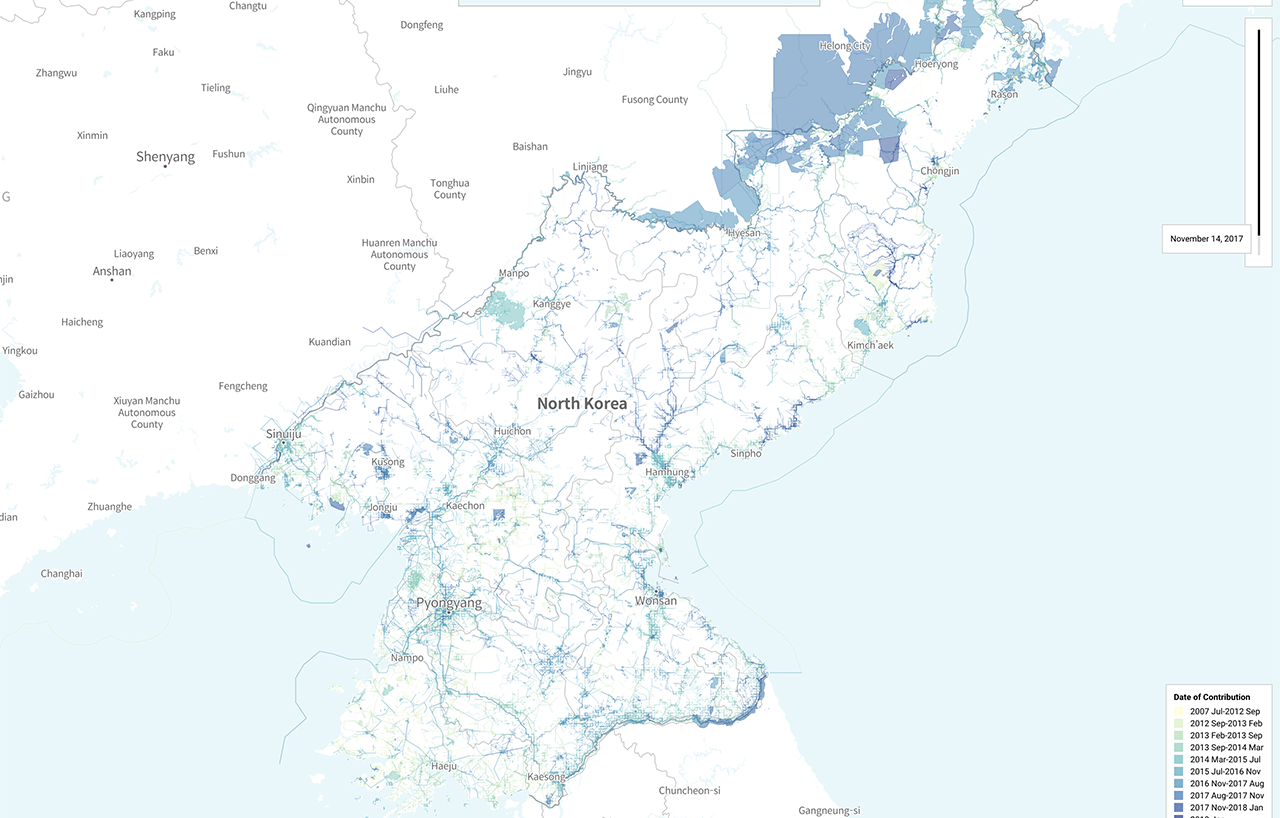
Cartographers of North Korea (2019)
2026-10-12A 2019 analysis of OpenStreetMap data investigates the individuals responsible for mapping North Korea, one of the world's most isolated nations. By examining contributor activity and demographics, the study reveals the surprising origins of the volunteers charting the closed country's geography.
Comments
0Discuss on Hacker NewsOnly full members can comment
Log in to express your opinion.
No comments yet.